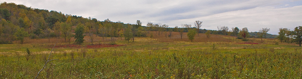
During the last ice age eleven thousand years ago the Laurentide Ice Sheet covered all of what is now Minnesota except for the driftless area in the southeast and the inner coteau in the southwest. As the glacier retreated, meltwater flowing off of the Des Moines Lobe formed Glacial Lake Agassiz. The lake drained to the southeast through Glacial River Warren. Where it flowed through this part of Redwood County the river was over 1½ miles wide and covered almost all of this SNA. Only three tiny islands remained above water. On March 15, 2005, 317 acres of prairie, oak woodland, and floodplain forest in Redwood County was designated Cedar Mountain Scientific and Natural Area.
The northernmost part of the SNA is in the Mississippi River floodplain. It contains a silver maple floodplain forest and two shallow lakes. South of the lakes, at the western edge of the SNA, trees and shrubs have been removed to establish a rock outcrop prairie. South of the floodplain forest is a mature basswood-bur oak forest and a sliver of dry, rock outcrop prairie. The three islands in the River Warren are now knobs of bedrock outcrop in this section. The knobs contain unique rock types and rare plant species. The lower, middle section of the SNA is mostly mesic prairie and a very small rock outcrop prairie. The south section is more basswood bur-oak forest. Wabash Creek separates this section from 320th Street on the south border of the SNA.
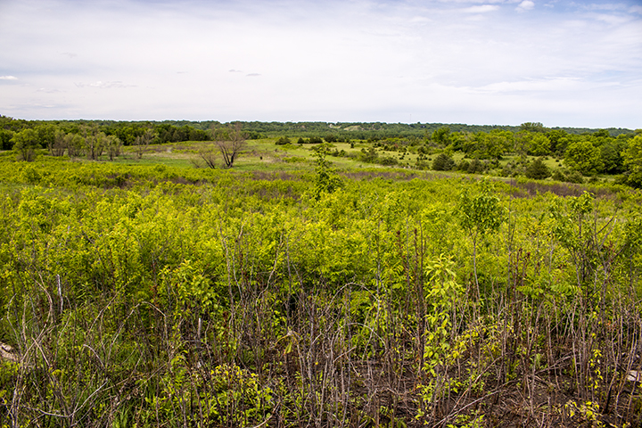
Visitors to Cedar Mountain SNA this week (early June) will see in bloom abundant golden alexanders and, less conspicuous but almost equally abundant, long-leaved bluet.
http://minnesotaseasons.com/Destinations/Cedar_Mountain_SNA.html